Building the Battlefield for Lundy's Lane
After the time consuming construction of the Queenston Heights battlefield, I vowed not to devote so much time to the next War of 1812 game. I adhered to my vow to a limited extent. The next game that we gamed was Chippewa, which took place on a flat terrain. So, it was quite a straightforward and fast set up.
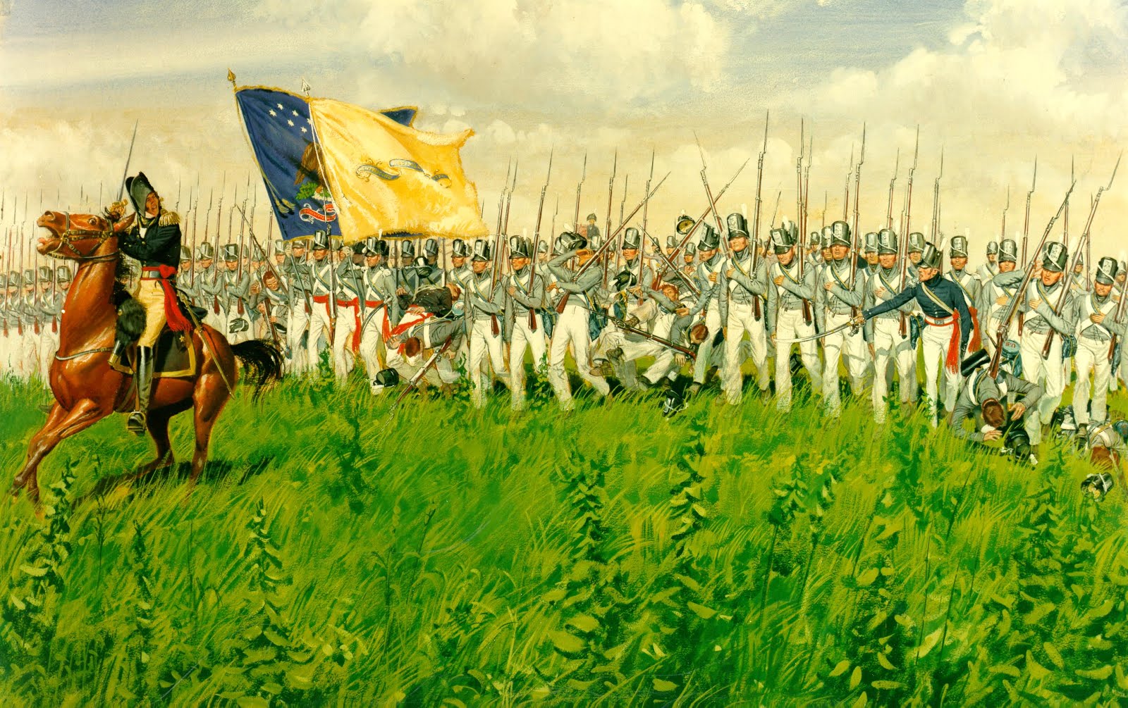
However, I broke my vow for Lundy's lane. I think I was swept up with the historical value of the hill as a significant defensive position. General Drummond quickly recognized the defensive value of Lundy's Lane heights. Like Wellington he could quickly assess the tactical value of terrain.
The main sources for the topography were Donald Graves, "Where Right and Glory Lead" and Richard Feltoe's "A Crucible of Fire: The Battle of Lundy's Lane, July 25, 1814.

I used most of the foam from the Queenston Height Project...there was a lot of it, so I used approximately 1/3 of it. I used my standard 6' x 30" tables laid interlocking rubberized floor (the same type used for kid's play room or gym room floors) . This layer make it easy to stick tooth picks through the foam hill section to the table surface.

Before this part I made copies of the terrain on 8" x 14" paper. I converted all the distances at 15 yards equals 1 inch battle top scale. Normally, I use between 15 and 20 yds = 1 inch depending on the real battlefield size and the limitations of the table size. This scale fits with the rules we use, which is General de Brigade with a growing addendum of war of 1812 unique rule subsets.

Needless to say that there was a lot of measuring, cutting, shaping to make the foam fit the topographical map.

Placing a flexible road section to verify the space available for Lundy's lane and the plateau area that would be needed to accommodate the meeting house.

More additions of foam to lessen the steepness on the British slope.

As with most projects like this, it is very messy. A shop vac is a must.

A last double check of the maps after a good clean up.

Surprisingly, the hardest part was creating this long gradual slop to the American entry to the battlefield.

A side view of the the long slope.

The opposite end or looking from west to east with the steep (British/Canadian)slope to the left and the long gradual slope to the top right.

I then placed a 8 x 12 ft linen drop sheet over the whole terrain. This evens out the more sharper elements of the foam hill. I then covered the cloth with two 6 x 8 ft terrain cloths. Heavy books were then placed in key points on the terrain mat to mold the terrain cloth to the foam.
I will include the additional terrain features such fences and trees in the next session.
No comments:
Post a Comment